
Blog
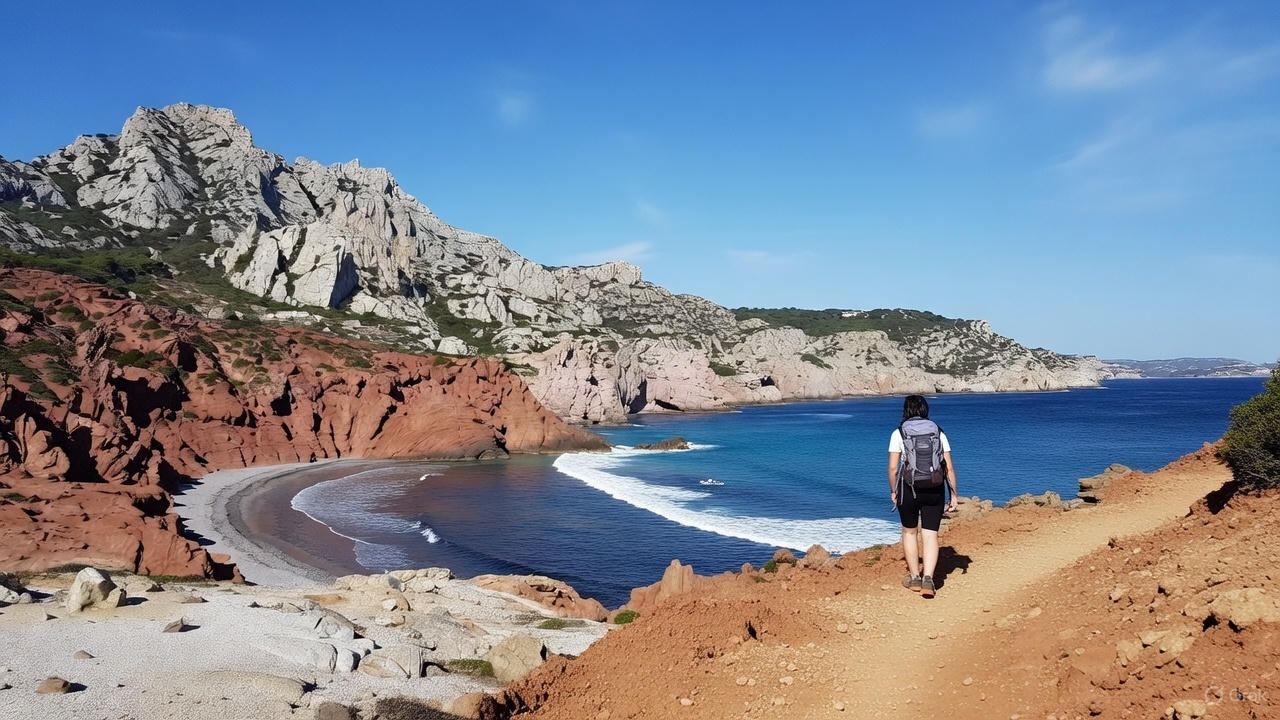
Beyond its legendary beaches, what is the secret essence of the Var that only hikers can discover? This département, a true gem of Provence-Alpes-Côte d’Azur, is a mosaic of landscapes ranging from the volcanic coastline of the Estérel to the limestone massifs inland. The Var is the ideal destination for combining the freedom of a camping holiday with adventures out in nature. Get your boots ready, because here’s a selection of the best hikes in the Var for every level.
| Hike | Starting Point | Distance | Average Duration | Elevation Gain | Difficulty | Key Points of Interest |
|---|---|---|---|---|---|---|
| Dramont loop | Saint-Raphaël (Plage du Débarquement) | 4.4 km | 1h40 | +146 m | Easy | Red rocks of the Estérel, view of Île d’Or, coastal path. |
| Cap Lardier loop | La Croix-Valmer (Gigaro) | 8.2 km | 3h30 | +282 m | Moderate | Wild coastal path, protected area (Port-Cros National Park). |
| Mont Vinaigre loop | Col du Testanier | 7.25 km | 2h00 | +343 m | Moderate | Highest point of the Estérel, panorama over the Préalpes, Cannes and Saint-Tropez. |
| Marie-Madeleine cave & Saint-Pilon | Hôtellerie Sainte-Baume | 6.3 km | 3h00 | +395 m | Hard | Forest (north face), mystical atmosphere, panorama over Provence. |
| Blavet gorges and Mueron cave | Gorges du Blavet car park (RD47) | 6 km | 2h30–3h00 | +197 m | Hard | Canyon, red volcanic cliffs, prehistoric cave, ancient Gallo-Roman hillfort. |
If you’re looking for a first, easily accessible hike or a short seaside walk, the Dramont loop is the perfect route. Doable from Saint-Raphaël, this short coastal path is the perfect example of an easy hike in the Var that still doesn’t skimp on the scenery.
The walk immediately immerses hikers in the scenery of the Estérel massif and its red volcanic rocks. This flaming colour, typical of rhyolite, creates a contrast with the blue of the Mediterranean, guaranteeing unique views of the iconic Île d’Or.
Starting point: Plage du Débarquement car park, 83700 Saint-Raphaël, France
Distance: 4.4 km
Average duration: 1h40
Elevation gain: +146 m
Difficulty: easy.
The Cap Lardier loop, starting from La Croix-Valmer (Gigaro), is a magnificent loop hike in the Var that follows the coastal path. This route feels wilder than other coastal trails, allowing you to get away from the busy built-up areas around Saint-Tropez.
The path on the Lardier peninsula is technically more demanding than the Dramont, with longer, sometimes rocky stretches that require sure footing and attention.
The route crosses a protected area, part of the Port-Cros National Park, guaranteeing a discovery of preserved wildlife and plant life. These coastal hikes in the Var make an excellent activity for intermediate walkers. Plan your base at one of the many campsites in the Var to make the most of these hiking trails.
Starting point: Gigaro reception point
Distance: 8.2 km.
Average duration: 3h30.
Elevation gain: +282 m.
Difficulty: moderate.
Starting from the Col du Testanier, the hike around Mont Vinaigre sets off gently on a forest trail typical of the Estérel, before crossing a barrier and gradually gaining height. The path alternates between shaded stretches and more open sections, until it reaches a forest track and then a path climbing towards a helicopter platform. The view gradually opens up over the massif’s red rocks. Continuing towards the watchtower, the final ascent leads to the summit of Mont Vinaigre, the highest point of the Estérel, offering a spectacular panorama over the Préalpes, the bay of Cannes and the gulf of Saint-Tropez. The return follows the same route, with the option of taking a narrower variant to rejoin the original path.
Starting point: Col du Testanier car park.
Distance: 7.25 km
Average duration: 2h
Elevation gain: +343 m
Difficulty: moderate.
The Sainte-Baume massif calls you up to a higher level of difficulty. It stands out for its unique ecological contrast: the north face is covered by a relict forest, promising a walking experience very different from the dry scrubland of the Var coastline.
The climb up to the Sainte Marie-Madeleine cave and the Saint-Pilon is a demanding hike. The ascent is renowned for its mystical atmosphere and the coolness under the tree canopy. It’s one of the finest things to do in the Var for combining physical effort with heritage discovery. Once you’ve visited the cave, continuing on to the Saint-Pilon, which peaks at 949 metres, rewards you with an exceptional panorama over the whole of Provence.
Starting point: Espace Tourisme & Découverte opposite the Hôtellerie
Distance: 6.3 km.
Average duration: 3h00.
Elevation gain: +395 m.
Difficulty: hard.
This is the choice of seasoned explorers, requiring maximum expertise. The hike to the Mueron cave and the Blavet gorges plunges you into the heart of a canyon with red volcanic cliffs. The path follows the riverbed, crosses a ford, then climbs up to the prehistoric cave. You then join the GR®51 to reach a viewpoint over the gorges and an ancient Gallo-Roman hillfort. The route ends with a lovely shaded descent among the chestnut trees. Sturdy footwear is recommended, especially in wet weather.
Starting point: Gorges du Blavet car park on the RD47.
Distance: 6 km.
Average duration: 2h30-3h00.
Difficulty: hard.
Elevation gain: +197 m.
The Var département has unrivalled riches in store for your next adventure. Plan your camping trip now and string together your hikes across the region!